Wolumla Creek Flood Study
This study will improve Council’s understanding of flood behaviour, and it’s impacts on the community and better inform management of flood risk in the study area.
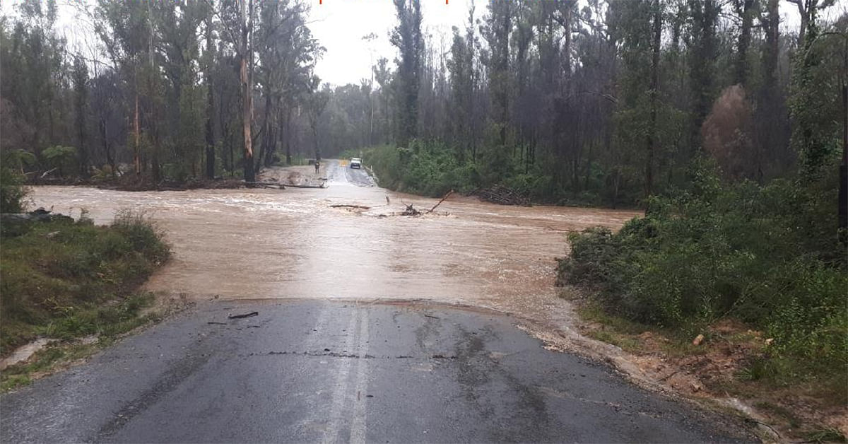
Project background
Bega Valley Shire Council has engaged Rhelm Consultants to assist with the preparation of the Wolumla Flood Study and subsequent Floodplain Risk Management Study and Plan. This study will improve Council’s understanding of flood behaviour and impacts on the community, and better inform management of flood risk, future strategic land-use planning, infrastructure planning and emergency response planning in the area.
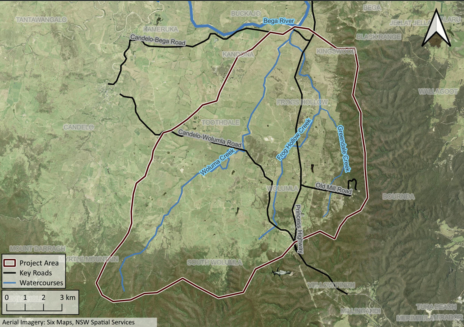
Wolumla Flood Study Area
Why we need this study
The study area encompasses the Wolumla Creek catchment focusing on the localities of Wolumla, South Wolumla and Frog's Hollow and four areas that were previously part of a 2018 Wolumla Planning Proposal. The deferred matters identified as part of the Planning Proposal then have now since all been resolved.
Wolumla Creek is a tributary of the Bega River, and the floodplain and portions of the Wolumla Creek catchment can be subject to both mainstream and overland flow flooding.
There is currently no Flood Study or associated mapping for this area to assist Council and emergency services to plan for and manage the catchment flood risk.
With two regional roads transiting the Wolumla Creek catchment, detailed flood information is needed for emergency response and infrastructure planning. Additionally, development pressures in and around the township of Wolumla highlight the need to understand flood risks associated with overland flow, road access and future strategic land-use planning.
The Flood Study represents the first assessment phase of the floodplain risk management process. It defines the existing flood behaviour and flood risks present in the study area. This information will feed into a subsequent Floodplain Risk Management Study and Plan which will assess various methods of managing this risk and ultimately prepare an implementation plan of management options for Council.
This project will be undertaken in accordance with the NSW Flood Prone Land Policy, the NSW Flood Risk Management Manual (2023) and in close collaboration with the NSW State Emergency Services (SES), the NSW Department of Climate Change, Energy, the Environment and Water (DCCEEW), and other agencies and stakeholders as required.
Funding
Council received partial funding from the NSW Department of Planning and Environment under the NSW Government Floodplain Management Program to assist with the completion of the study.
- Total - $180,000
- NSW Government - $120,000
- Council contribution $60,000
Connection to Council's Community Strategic Plan
This project aligns with Bega Valley Shire Council Community Strategic Plan through:
- Our Environment
Strategy C.5: Lead climate change mitigation and adaptation through implementation of our Climate Resilience Strategy focusing on natural systems, preparing for natural hazards, liveable and connected places, safe, healthy and inclusive community, diverse and thriving economy, energy security and food security.
- Our infrastructure
Strategy D.1: Plan for community infrastructure and services that will meet current and future needs.